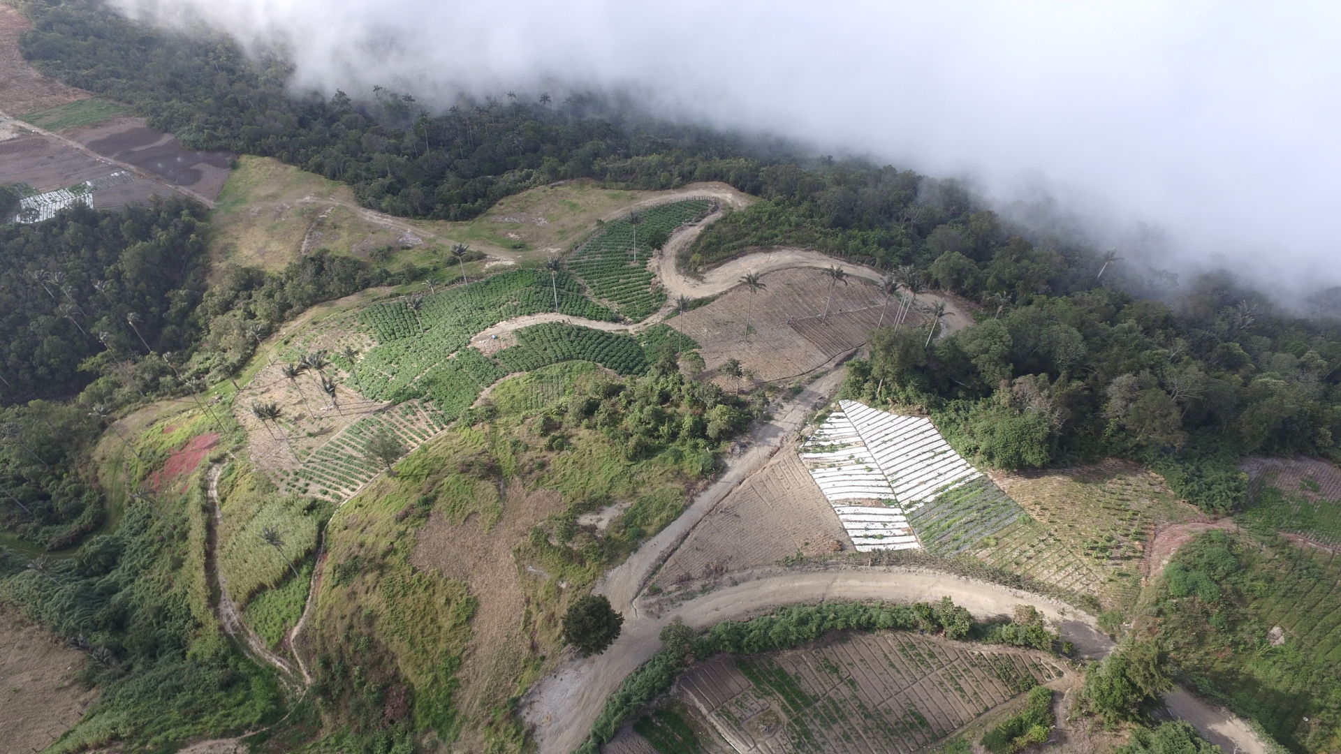
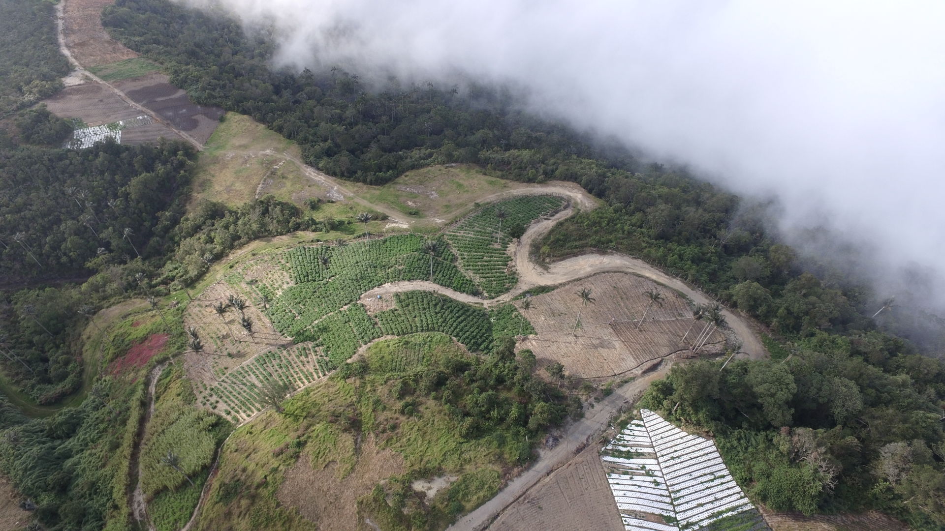
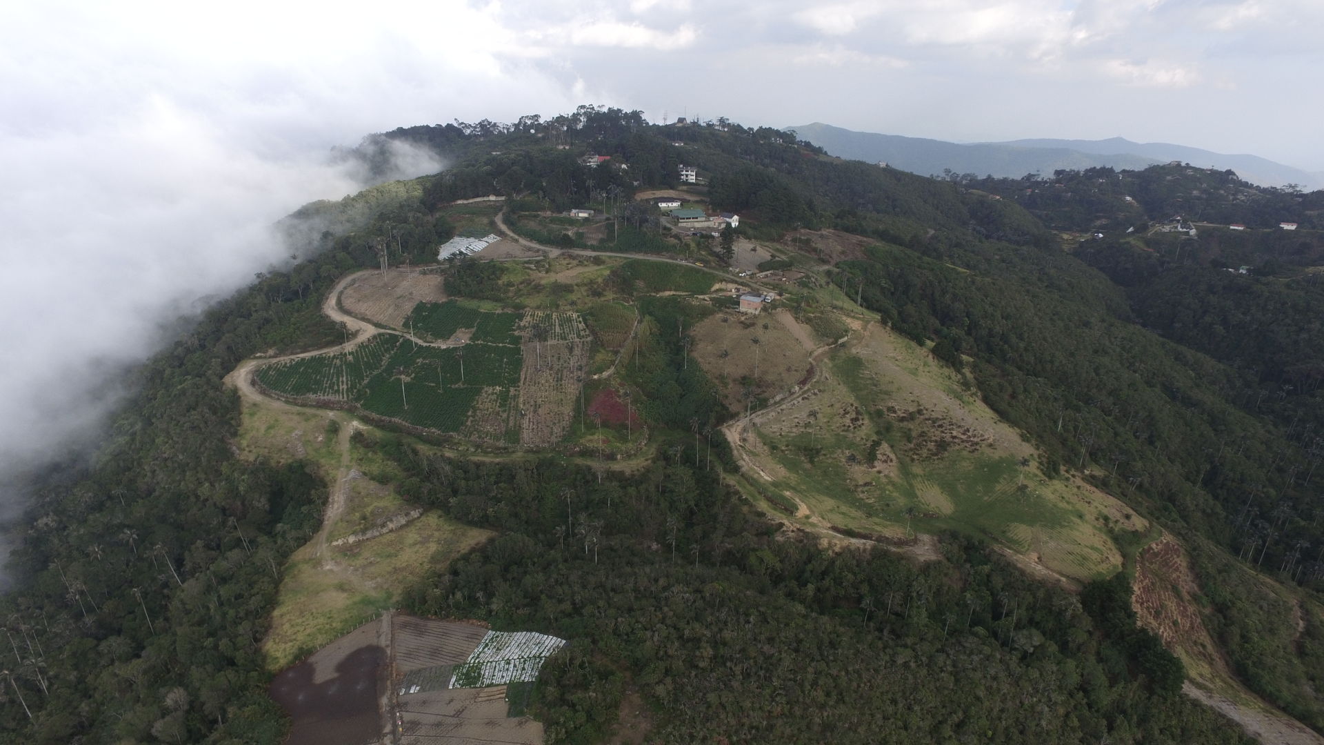
Precision agriculture with drone in the Junquito Distrito Capital
The client contacted us because he needed to have a visual of the state of his harvest, and update his cadastral record.
For this we carry out an Aerial Inspection of crops, where you can see the land, its boundaries and the state of planting.
Additional we delivered an Ortomosaic Map that allowed you to obtain the coordinates updated in REGVEN of your boundaries for the update of the cadastral record.
This Map was very useful because it also allowed him to calculate the amount of material needed for the irrigation system, and optimize the use of the land.